
LOCATION: UXBRIDGE
ROUTE DISTANCE: 50KM
COMPLETION TIME: 3-4H
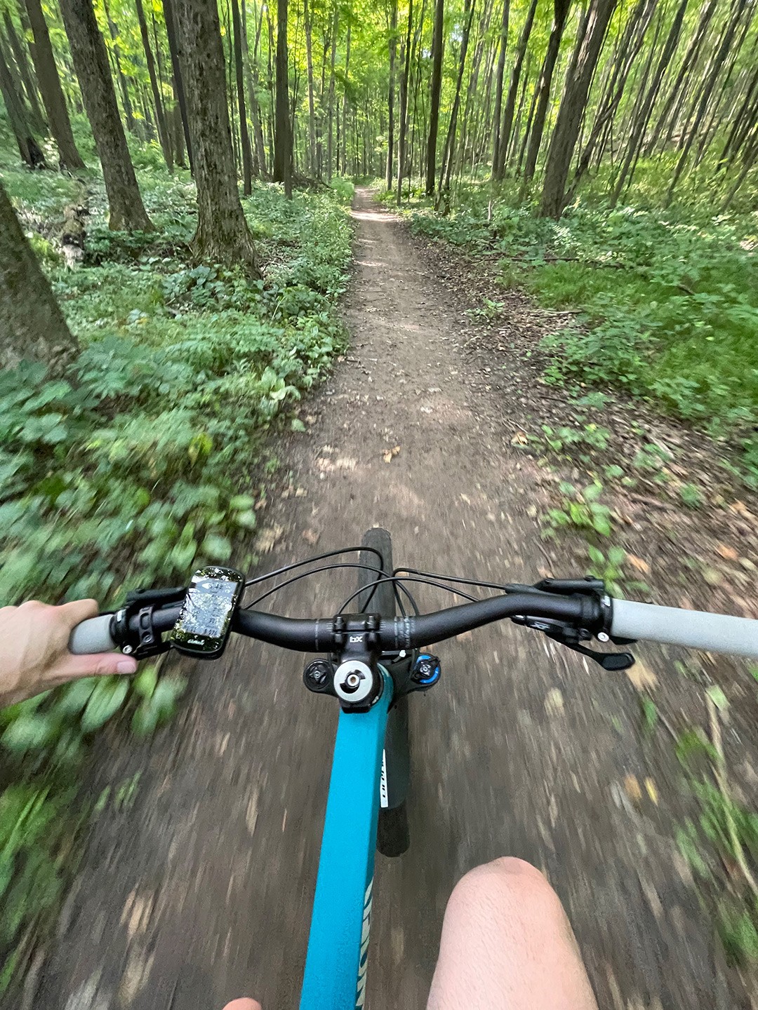
If you're into Cross Country Mountain Biking, Uxbridge provides an almost endless number of trails. You have the big woodlots such as Durham Forest, Dagmar, and Glen Major (East Duffins Headwaters). But there are also many other smaller woodlots surrounding the big guys, including trails in and around Glasgow and Goodwood. The Uxbridge Singletrack Sampler will give you a taste of them all, in an almost entirely single-track adventure. The beauty of this route is that it's high customizability. I have not calculated the potential mileage you could do without repeating trails, but it would not surprise me if it was over 150 km.

SECtion 1: Goodwood conservation & Secord Forest
The first group of woodlots you will work through are Goodwood Conservation and Secord Forest. This short 10-15 km section provides some amazing backcountry-style experience. The trails are relatively quiet and provide some rooty-dirt and punchy hills for you to work your way through. Secord Forest can get quite damp in the spring and summer, and the mosquitoes can be ruthless at times. Wear bug spray, and potentially find an alternative route if it has rained heavily the day before. This part of the ride can be slightly more challenging on a drop-bar bike but is completely doable.
SECTION 2: CLUBINE & NORTH WALKER WOODS
These two forests are pretty tame. You will be riding east along mostly fire-road until you reach Concession Road 6. It's the most flat part of this route, and you will pass through without much effort.
SECTION 3: WALKER WOODS , DURHAM FOREST & DAGMAR
Walker Woods will provide you with an opportunity to detour south and experience some great XC trails if you wish. You could spend hours riding the trails that are directly south of here, some of which you will touch on later in your ride. For this route, however, you will quickly ride east through Walker Woods and on towards Durham Forest.
Durham Forest has some of Ontario's best cross country mountain bike trails. For decades, people have been riding this forest and establishing some really fun singletrack. Be warned, it can get quite busy here during the summer. Durham is a great forest that offers trails for beginner and intermediate riders. Durham is a multi-use forest, and you will encounter hikers, trail runners, and families with young children, so keep your head up.
Dagmar is another great little woodlot with very established singletrack. Some of the singletrack here gets technical, and they have a diamond rating system. You certainly would not want to tackle some of the trails here on a drop bar bike. Out of all the woodlots, this one probably provides the best singletrack challenges. Dagmar can be a little tricky to navigate, and some of the trails are one-way directional.
SECTION 4: EAST DUFFINS/GLEN MAJOR
The final stage of this route is the Glen Major/East Duffins Conservation Area woodlots. These are an expansive array of trails that are a mix of easy to more advanced singletrack. The trailhead at Pickering Uxbridge Townline Rd. will place you on some pretty extreme 'free-ride' features. Jumps and gnarly descents have been here for decades; you'll most likely want to avoid attempting these. The trails that follow this area, however, are very enjoyable. Glen Major woods provide dozens of trails that you can combine into a day's worth of riding. Our route will allow you to sample some of them, just giving you a taste.
SECTION 5: OAKRIDGE TRAIL HOME BOUND
After spending time in the Glen Major/East Duffins trails, you will be starting your return back. You will need to spend a little bit of time on paved road on Allbright Road, but that ends shortly at Brock Rd. Here you will enter a section of the Oakridge Trail. It's a little raw as it's not overly used. Be a little bit more cautious along this section as it can be a bit more overgrown (ticks). Once you exit this section at Concession Road 4, you will be returning along the trails that you started the ride.
Feeling Hungry?
CHALLENGES
BUGS:
The mosquitos can be pretty bad along certain portions of this route from May to September. The area that is particularly bad is along the Glasgow Oak Ridge Trail. The trail is damp, and there is lots of standing water which breeds mosquitos. Keep covered up, wear bug spray, or do this one in the fall. Other parts of this route are not too bad. This area is also known to have ticks, so on completion give yourself a good once-over.
OTHER PEOPLE:
Parts of this route can by busy, in particular the Durham Forest area. Also be aware that in some parts of Dagmar they have 1-way single-track. You will encounter cyclists, hikers, and potentially horses on your trip.
TECHNICAL:
There are sections of this ride that can be more challenging on Gravel bikes and those bikes with skinnier tires. There are many rooted sections and sections with steep inclines/declines.
The starting point of this ride is located Glasgow Day Use Park: 1867 Concession Road 2, Whitchurch-Stouffville
Parking: Free but limited in the main parking lot off Concession Road .
Public Transit: This route is not particularly transit friendly, unless riding north from Pickering or Ajax.
Mosquitos can be very bad around the Secord Forest area. Cover up, or wear bug spray.
There are some technical sections that can be trickier on gravel bikes. A mountain bike is recommended to have the most fun.
Food options at Trail Hub or Hy Hope Farm (depending on day of the week/time of the day).
Rider Skill Level: Intermediate/Advanced
DOWNLOAD GPX
Terms of Use: Like all routes on Explore on Bike, if you decide to bike this route, do so at your own risk. Check current local weather, conditions, and closures before starting. Respect all land use rules, carry proper equipment, and follow the leave-no-trace principles This information is a planning resource, so do your own research. Despite careful preparation, we can't guarantee 100% accuracy or assume liability for injuries, property damage, or other issues that may occur while cycling this route.