
LOCATION: MARMORA
ROUTE DISTANCE: 57KM
COMPLETION TIME: 3-4H
This route starts in the town of Marmora, which is about 30 minutes away from Peterborough and about 2 hours away from Toronto. It features a mix of paved and gravel roads with a short stretch of off-road. It straddles the line between rocky terrain to the north and tilled farm fields to the south. For many people, this is the start of cottage country. While this route is short at about 50 km, it provides a great taste of what this area has to offer. There are many roads that you can take in any direction to increase the distance. One thing to be aware of is that many of the gravel roads are dead ends. They will allow you to travel many kilometers, but you will have to turn around at some point, as I found out on Shanick Road.
The town of Marmora makes an excellent starting point, and I have had good luck parking in the baseball field parking lot. However, depending on the day/time, it could be busy. There is another parking lot across the street, but it does not have as many spots. If you enjoy camping, the KOA site outside of town may also be an option for longer multi-day excursions. If that’s the case, I highly suggest looking into adding the Hastings Colonization Road to your trip.

Marmora to Shanick
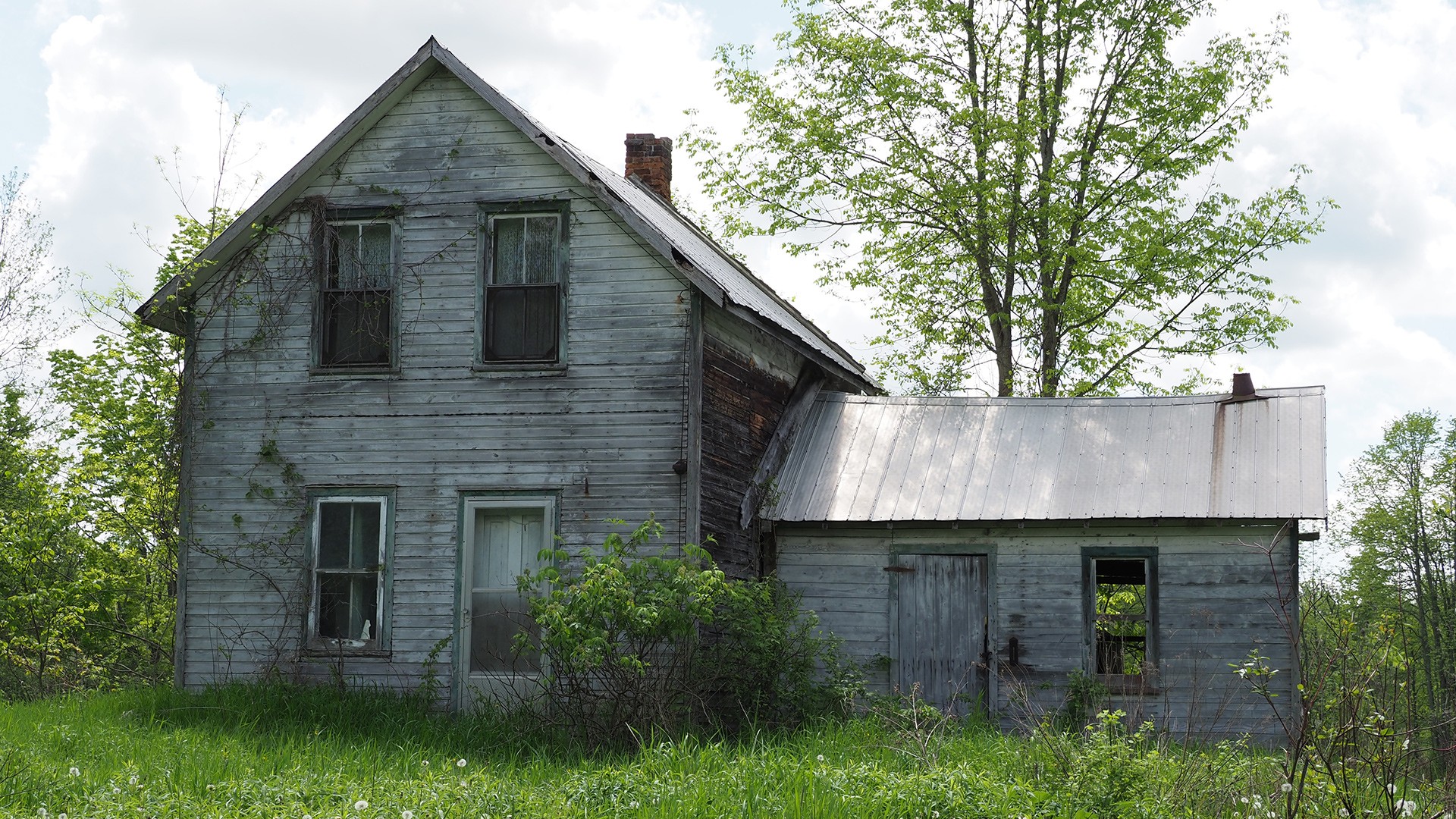
When I was first looking into this area for road options, the ghost community of Shanick popped up. It was a stretch of gravel that is about 8 km in length and was once home to a small community that included homes, a school, a mill, and a post office. My intent was to ride north on Shanick and connect with another road to the northeast. Sadly, this was not possible. As an optional detour, Shanick is worth the trip north to check out the old bridge; otherwise, once Centreline Road and Shanick meet, keep riding east to the Zion Church.
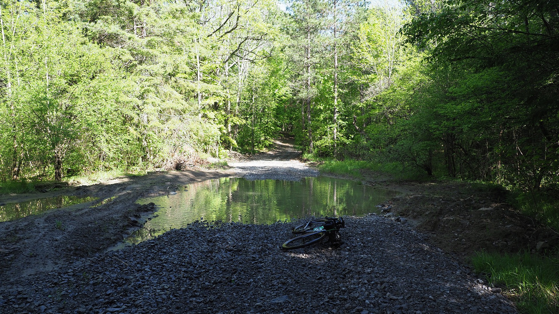
Zion Church to Hastings Heritage Trail
Once you arrive at Zion Church, you will head south along the snowmobile trail, which also seems to be maintained for summer ATV use. It’s the most rowdy section of this ride with some dirt and large gravel stones in other sections. The bugs are quite intense in this mostly wooded section; if you stop, you will get swarmed. Because this stretch is designed for motorized off-road vehicles, you will need to be cautious.
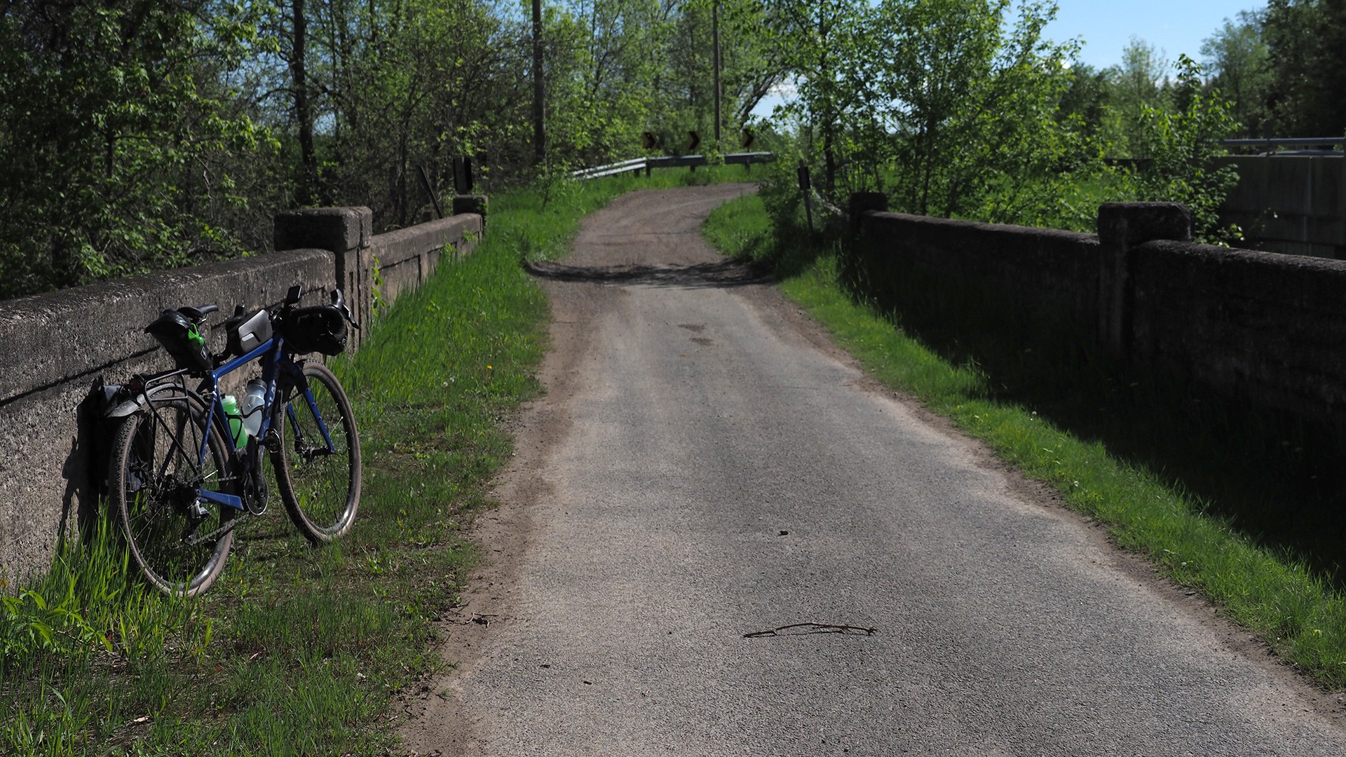
Hastings Heritage Trail to Eldorado
Once you arrive at the Hastings Trail, you will take it east for about 10 km to the town of Eldorado. The trail itself is a reclaimed rail line. It’s a bit less boring than most rail lines — with a slightly more challenging surface and some open marsh views. This is also a multi-use trail, so be aware that motorized ATVs could be coming from either direction. The area is prone to flooding in some spots, so be prepared to cycle through or push your bike. There are not really any areas to take a break along this stretch until you come to Kelly’s Bridge; this area makes a nice protected spot to catch your breath or have a snack.
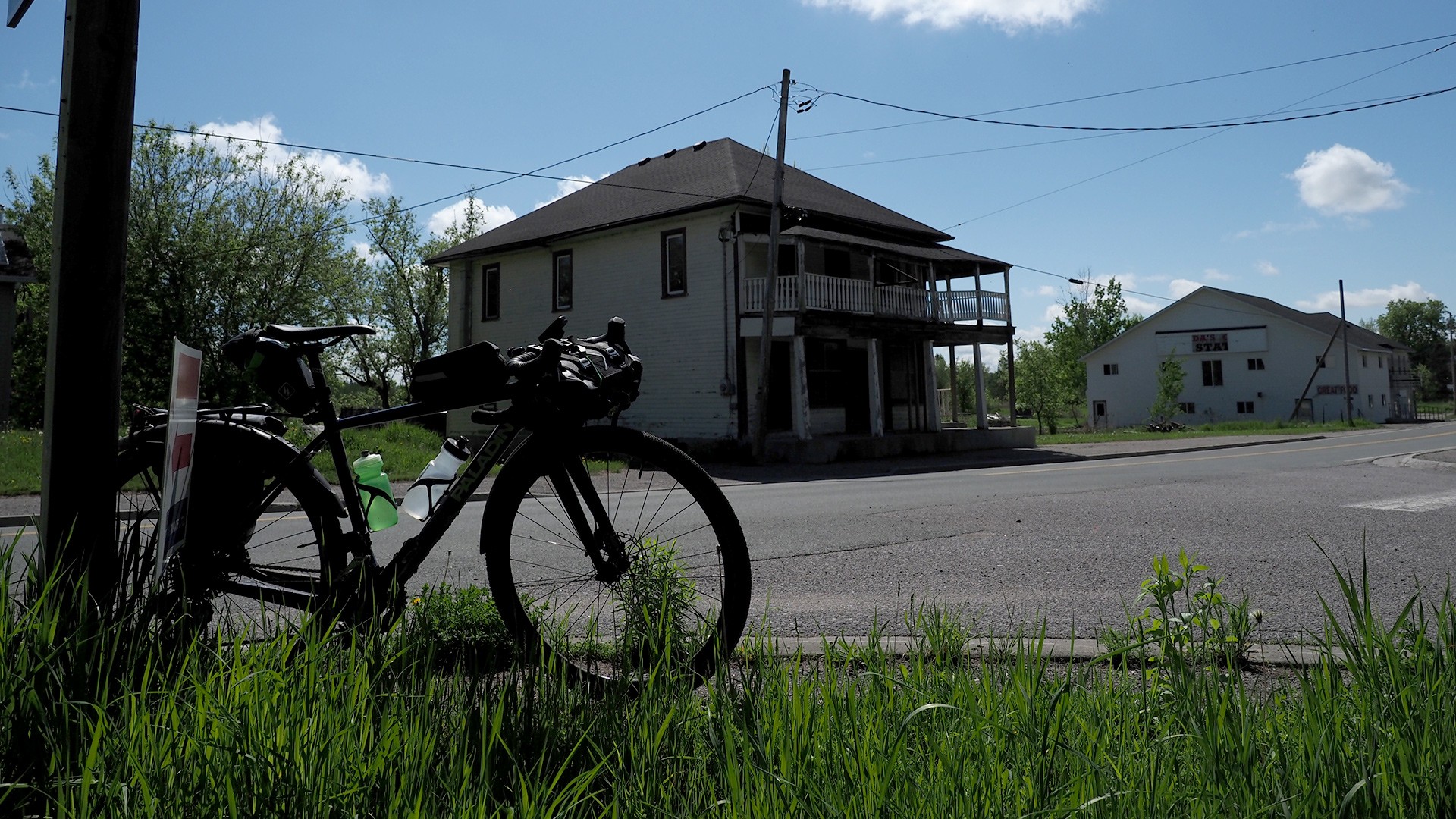
Eldorado and highway 62
The Hastings Trail continues further northeast into Bancroft, but you will exit into the town of Eldorado. This place has seen better days. At one point (and maybe not too long ago), it had a few places to stop and eat; now they’re just abandoned structures looking for new owners. At the center point of Eldorado is a sign telling the story of Ontario’s first gold mine. One of the main industries in this area for many generations was mining, along with logging.
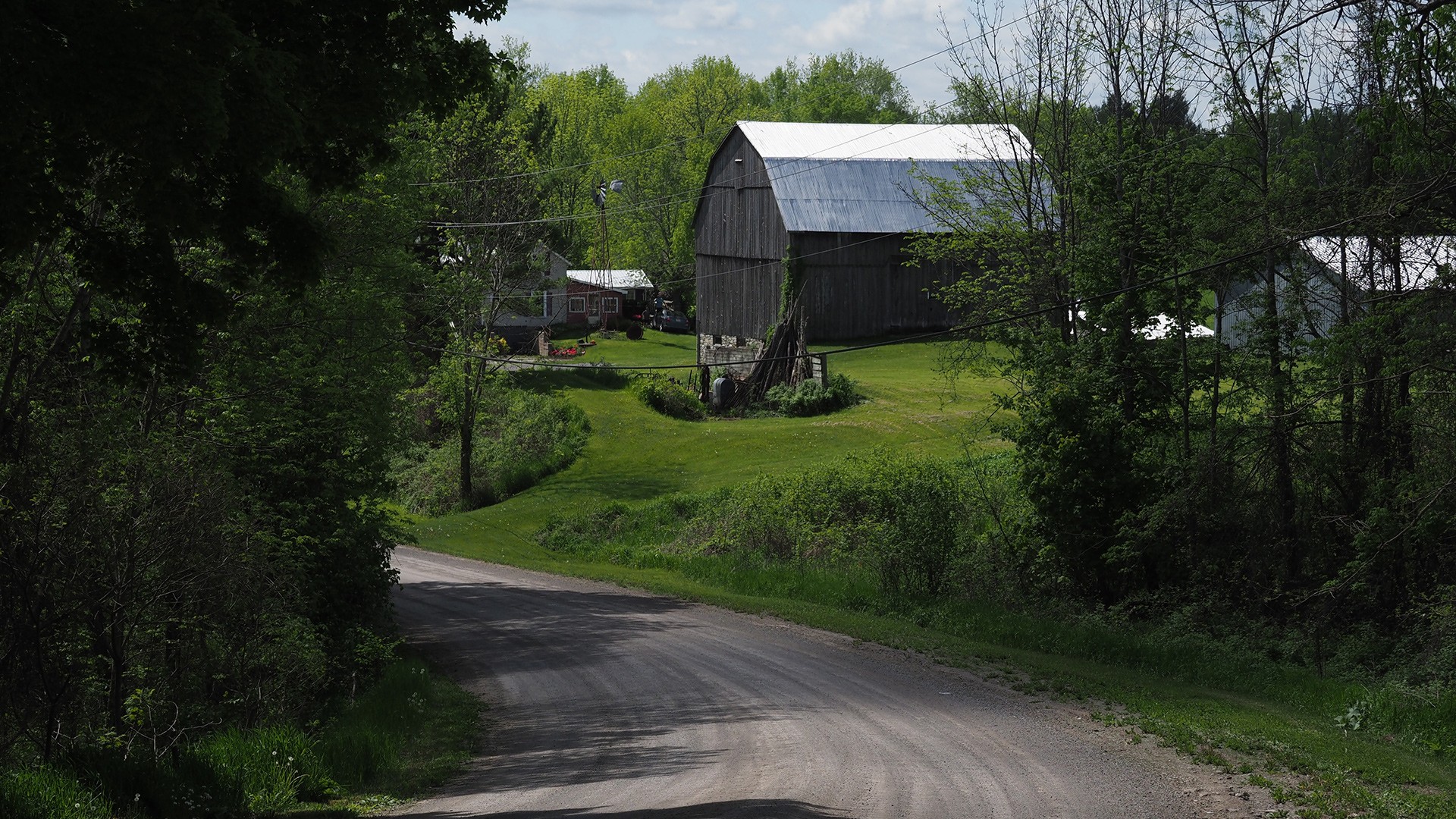
Eldorado to Rupert’s Road and O’Hara
Heading south out of Eldorado, you will take the first westbound road (Rupert’s) over to O’Hara. This next section provides a fairly long rolling stretch of gravel, passing a mix of farmland, woods, and marshes. I found this road to be relatively quiet.
KOA to Marmora
Getting onto the KOA campground road, you will briefly head north to Highway 7. You can choose to return to Marmora via Highway 7 which is quite busy, or you can continue north to Station Road and take that into town which will re-use some of the earlier road at the start of the ride. If taking highway 7 be cautious of cars.

ADDITIONAL READING
The starting point of this ride is at the baseball fields at Matthew Street and Cameron Street in Marmora
Parking: You can park at the baseball field, or the park across the street.
Public Transit: None.
The Blackfly and mosquitoes are ruthless.
Be cautious of the ATVs.
Rider Skill Level: Beginner/Intermediate
DOWNLOAD GPX
Terms of Use: Like all routes on Explore on Bike, if you decide to bike this route, do so at your own risk. Check current local weather, conditions, and closures before starting. Respect all land use rules, carry proper equipment, and follow the leave-no-trace principles This information is a planning resource, so do your own research. Despite careful preparation, we can't guarantee 100% accuracy or assume liability for injuries, property damage, or other issues that may occur while cycling this route.