LOCATION: BRIGHTON/CAMPBELLFORD
ROUTE DISTANCE: 120KM
COMPLETION TIME: 5-6H
This is a fun all-roads route that will take you from Brighton, up past Warkworth, and then into Campbellford. You’ll cover a wide variety of terrain and experience some great views in the Trent Hills area. The highlight of the ride is the suspension bridge in Campbellford and seeing the giant toonie. All in all, this is a 120k ride, great for beginners. Don’t worry about bringing any food, as there are great stops along the way. Let’s dive in!
401 Brighton Exit to Castleton
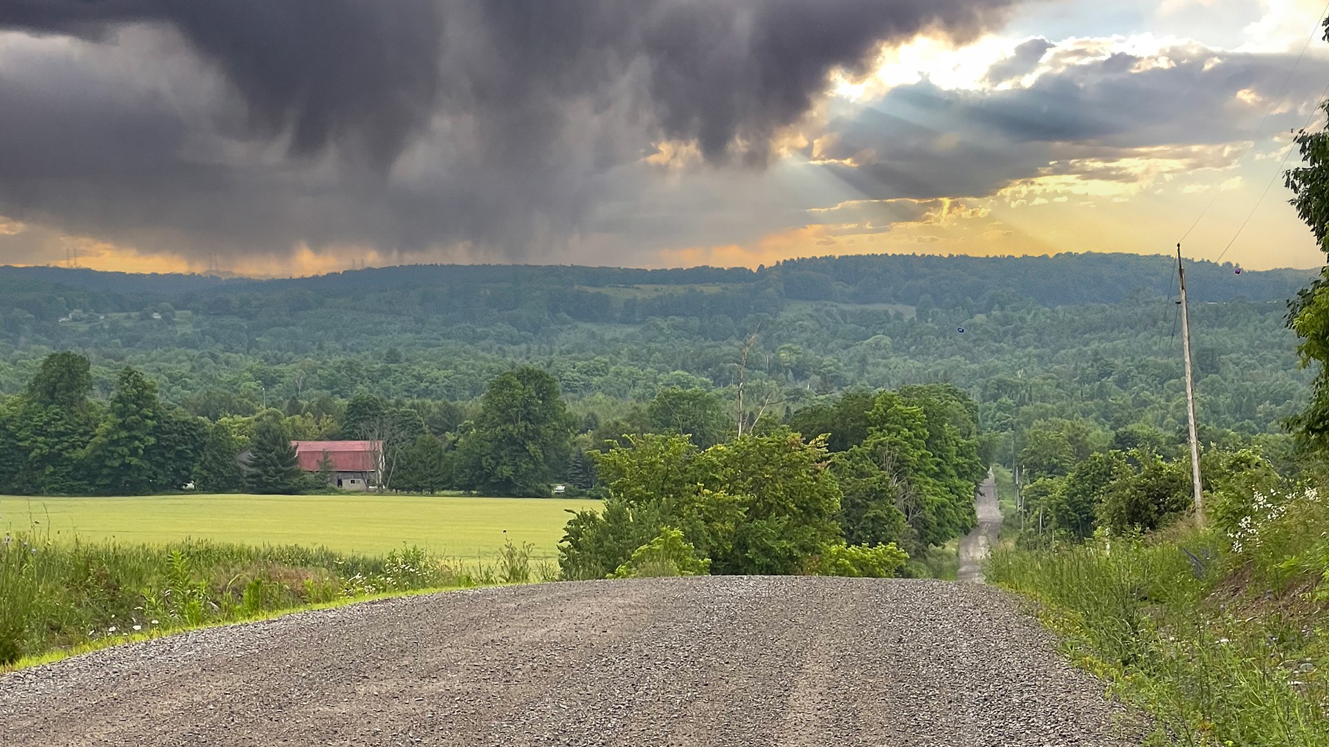
The start of this ride takes place just north of Brighton, Ontario. There is a handy commuter parking lot just off the 401 exit (on the other side of the Shell Gas Station/McDonald's). From here, you will ride on pavement for a while and work your way into Hilton. You’ll then push west on more pavement until you reach Pogue Rd. Here, it turns to gravel and you’re rewarded with some great views looking north. Pogue Rd. goes on for a couple of kilometers before getting a bit rowdy with an unmaintained section. If it’s been raining, you may experience some ponding. You’ll get a bit more gravel as you push west across Dingman Road and towards Castleton.

Castleton to Warkworth
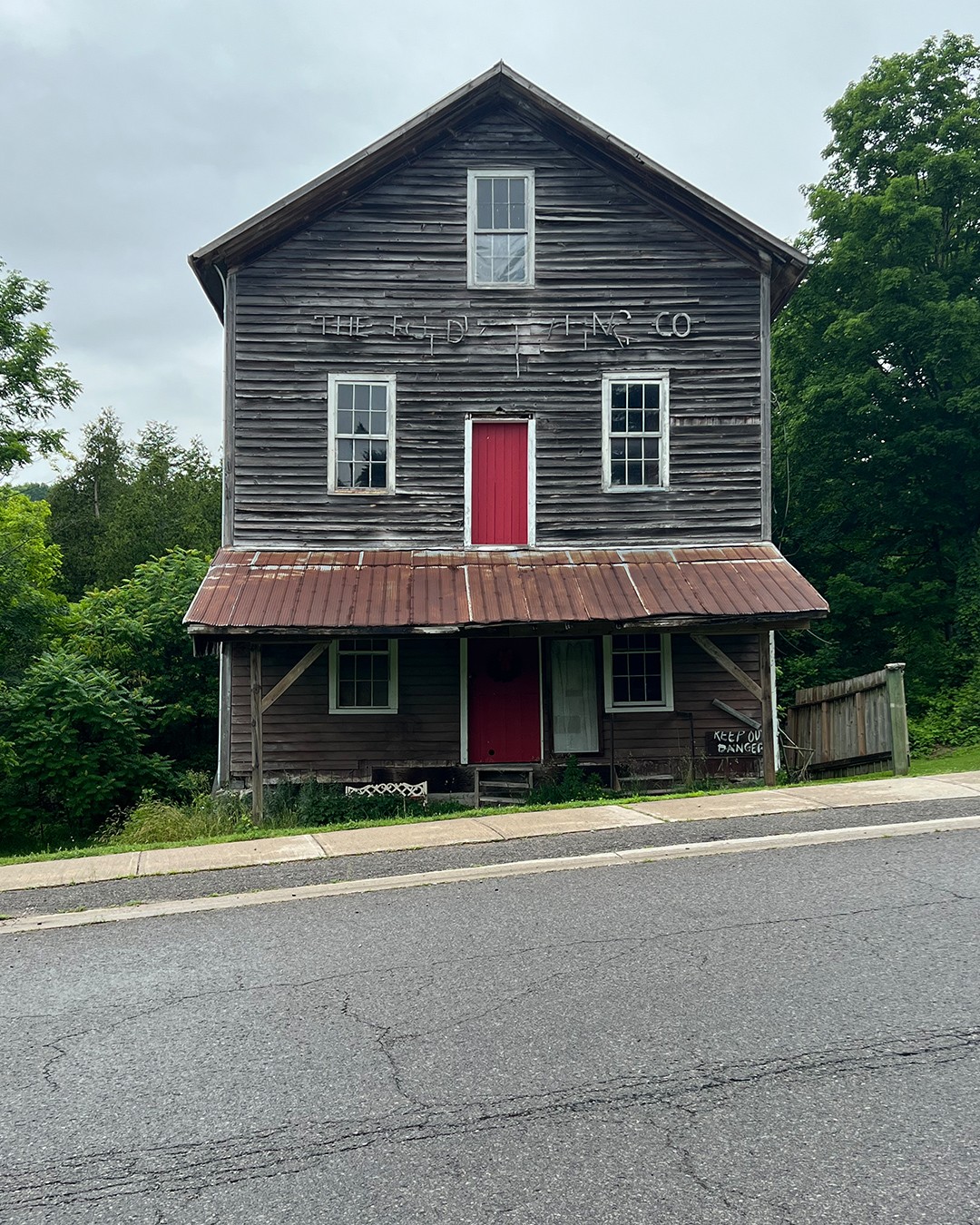
Castleton is a nice little four-corners community on County Road 25. You probably won’t need to stop here for a break as you’ll only be about 20-30k in, but if you do, there is a country store that should have everything you need. There are a couple of good photo ops of the older buildings if you’ve brought your camera. Exiting Castleton, you’ll start heading northeast towards Warkworth. This next stretch will mix gravel and paved sections, offering some great views. There’s a nice descent down Dawson Road before getting onto Red Cloud School Road. Once you reach Gravel Road (which oddly doesn’t have any gravel), you’ll be approaching Warkworth. In town, you’ll have plenty of food and drink options, making it a good rest spot as you’ll be a couple of hours into your ride. When I passed through, I tried K-Okay Coffee Shop and enjoyed a great cup of coffee and an oatmeal cookie.
Warkworth – Westbound
Once you exit Warkworth, you’ll start going back west again for a considerable distance. You’ll take CR-2 to Porter, then head north up Ferguson Road. There’s a fun little unmaintained stretch along here that will test your abilities. Exiting the rough stuff, you’ll pass a nice little creek/bridge spot, which also makes for a nice photo. Once you reach Ferguson and CR-3, you are now at the most northwest point and will start heading east towards Campbellford.
Ferguson/CR-3 to Campbellford
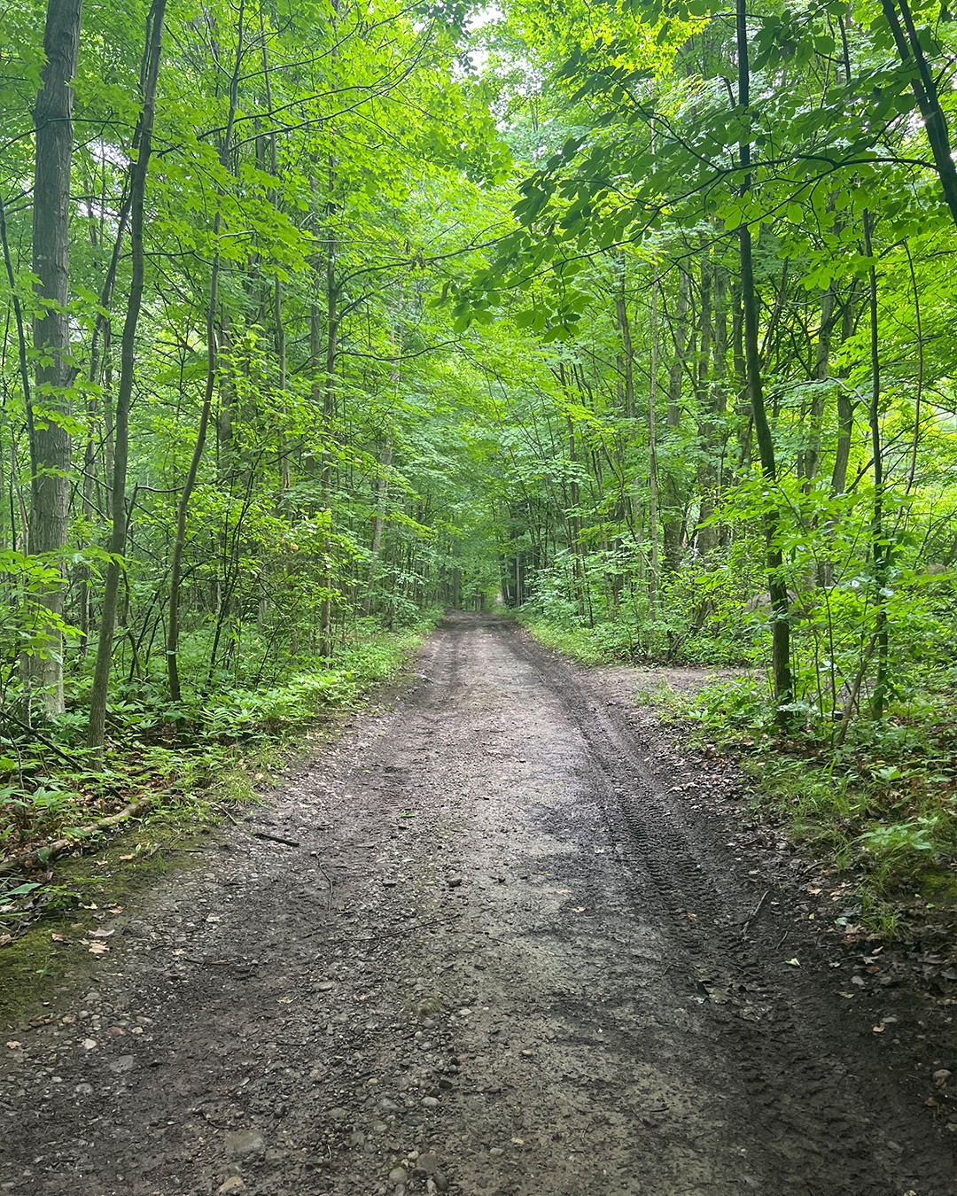
CR-3 is paved, and you’ll cruise out County Rd 25. You’ll actually be pretty close to Warkworth again, and if you need to detour for food, you could head back into town. If not, keep moving on towards Allen Drive. Allen Drive is one of the few dirt sections along this route. It’s probably one of the only stretches where you’ll have to worry about mosquitoes. It’s a bit rough in some places but nothing too difficult. You’ll now work your way along Godolphin, which is mostly paved and one of the longer uninterrupted stretches along this route. You’ll take this up to the rail trail (Trans-Canada Trail) and work your way into Campbellford. A word of caution on this rail-trail: it’s multi-use, and you will most likely pass some ATVs, so keep your head up. As far as rail-trails go, it’s not bad. It gets a bit repetitive, but the little creek crossings break up the monotony. Once you arrive in Campbellford, be prepared to deal with cars and traffic. If you come in summer, it can be quite busy.


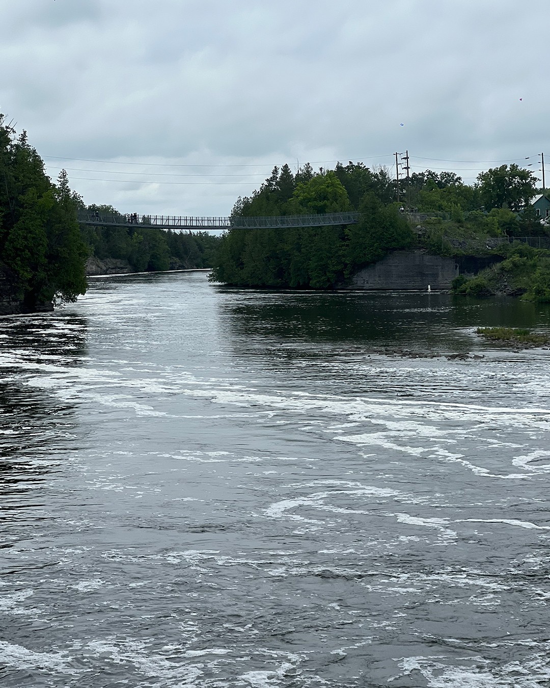
Campbellford & the Suspension Bridge
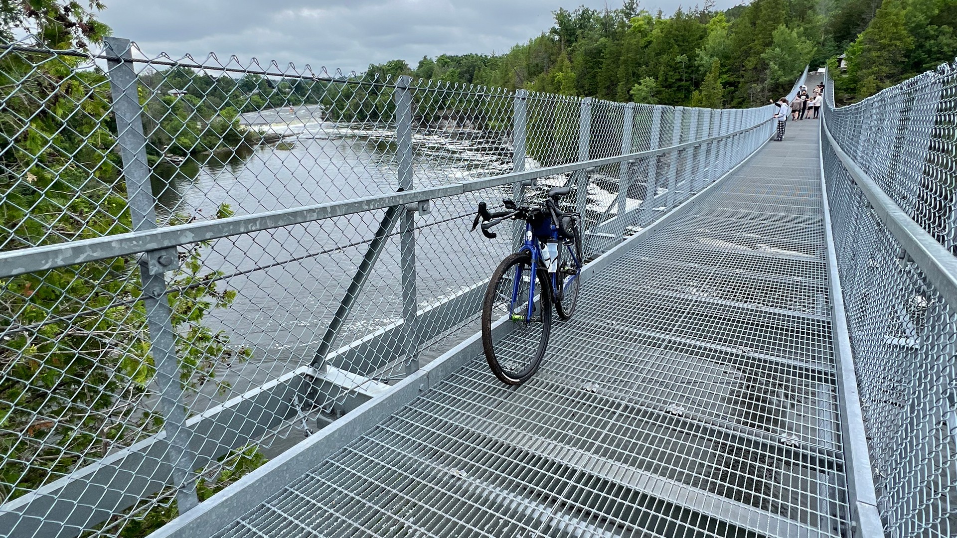
Once you’re in Campbellford, you will need to get your photo at the giant toonie, located on Grand Rd and CR-8. Fun fact: the Canadian toonie polar bear design was created by a Campbellford resident. In town, you’ve got plenty of food options. If you have a sweet tooth, you’ve got to drop into Dooher's Bakery. They’ve got a pretty killer selection of donuts, and they have coffee also. Campbellford is a relatively large town, so you have plenty of options here. Since you’re in Campbellford, you’ve also got to check out the suspension bridge in Ferris Provincial Park, which crosses the Trent River and puts you out on Trent Dr.
BRIGHTON BOUND
Once you exit Campbellford, you’ll work south along the Trent River and through the community of Percy Boom. It will be pavement for quite some distance. It’s not until you get closer to Brighton that you will get the last bit of gravel in. This will take place on Cameron Road. It’s a nice stretch of gravel with some really great views as you approach Jamieson Road. Shortly after here, you will be back on pavement and inching closer to the start of the ride at the 401 commuter lot. The stretch back from Campbellford to Brighton is not as challenging, but it’s still a pretty chill and enjoyable ride.
The starting point of this ride is the 401 Car Pool lot at the Brighton Exit.
Parking: Brighton Car Pool Lot. Google Map Location
Public Transit: You could potentially access this route from VIA Rail Trenton.
A good mix of terrain (Paved, Gravel, Dirt, Rail-trail)
There are lots of food options along this route.
Some sections may experience ponding.
Good to wear some bug spray.
Rider Skill Level: Beginner
DOWNLOAD GPX
Terms of Use: Like all routes on Explore on Bike, if you decide to bike this route, do so at your own risk. Check current local weather, conditions, and closures before starting. Respect all land use rules, carry proper equipment, and follow the leave-no-trace principles This information is a planning resource, so do your own research. Despite careful preparation, we can't guarantee 100% accuracy or assume liability for injuries, property damage, or other issues that may occur while cycling this route.